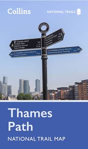
Thames Path National Trail Map
Regular price
£6.99
Sale
Part of the National Trail network, the Thames Path covers 184 miles (296 km) and follows the length of England’s longest river from its source in the Cotswolds to the Thames Barrier in Greenwich. Features include highlighted places of interest with detailed descriptions and photographs; index to more than 800 cities, towns and villages; route mapping and suggested itinerary; advice on safety and the countryside code.
Details
- Author: Collins Maps
- Publisher: HarperCollins Publishers
- Format: Paperback
- Publication Date: 16/02/2023
- ISBN: 9780008602963
- B-Code: B068744
- Illustrated: Colour map
- Pages: 2
- Dimensions: 198x115mm
